The Area and Map
Last edited 16/10/23
The Area
The area being used is the Western side of Derwent Water, consisting of Hawse End, Manesty Park, and the lower slopes of Catbells.
Approximate postcode: CA12 5UG
Nearest town: Keswick
Terrain
Hawse end consists of largely runnable deciduous open woodland, with some contour detail and rock features. The area runs along the Western side of Derwent Water, with numerous large paths and a few fences crossing the area. Underfoot vegetation is minimal in winter, however some dead bracken might remain. A minor road runs North-South through the area, with minimal but fast traffic. There is also a section of runnable open fell on the West side of the road, sloping gradually upwards. In the South-East of the area there is a small section of marshy open, which is largely flat and runnable.
Several uncrossable fences span the area, these are marked with purple (do not cross) on the map. These should only be crossed at marked crossing points.
Map

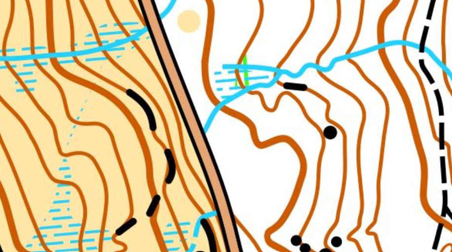
Map Extract (Mike Hind, 2023)
All symbols are ISOM 2017. The area is mapped at 1:10000 with 5m contours.
Resurveyed Mike Hind 2018, updated Nov 2021.
Further updates are being made to ensure the accuracy of the map for the competition.
A previous map of the area can be found here:
https://www.wcoc.routegadget.co.uk/rg2/#84
Tel: 01629 583037, Email: info@britishorienteering.org.uk